The Upper Bann
River reach · Fresh water · in Northern Ireland
A slow, silt-bedded lowland river running north into Lough Neagh through drumlin country, with a well-known bream and roach fishery and a strong dollaghan run.
Safety: cold water shock — can cause serious injury or death.
FishingHQ describes what this place is, not whether you may fish it. Access, permits and who to ask.
What you can catch here
Documented at this place, grouped by how you would be fishing, with how strongly the sources support each one. This is what has been written down, not a forecast, and being listed is never permission to fish.
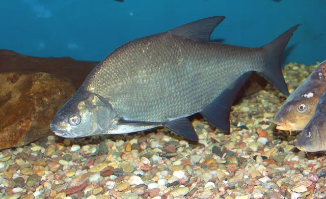
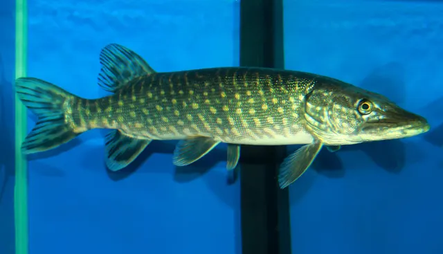
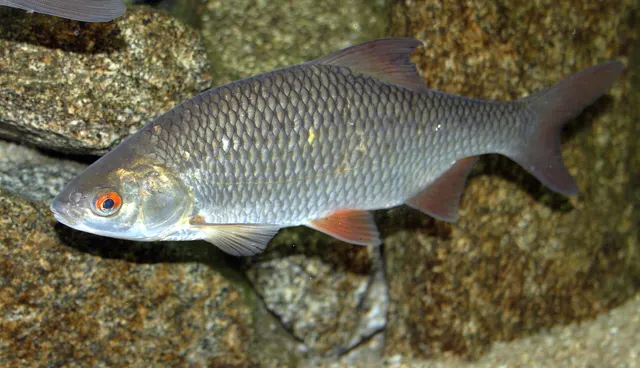
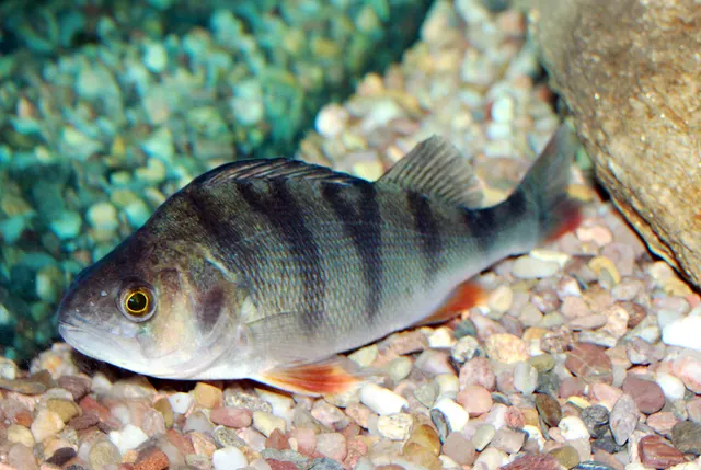
From the shore · 4
What these strengths mean
- Regular local target
- Fishing sources describe this as a normal local target here, not merely as caught.
- Recorded here
- At least one credible public account of this species being caught here. That is all it means.
- How breadth is counted
- A fish documented at six marks is shown as six marks: breadth never raises the strength on its own. A fishery account describes the fishing; a recorded catch reports one specific catch. How evidence is weighed.
How people fish it
Practised here: Coarse fishing.
Methods the sources name for this ground. Each one is explained in full on its own page.
- Feeder fishing
Legering with a weight that also carries bait, so that free offerings arrive in exactly the same place as the hookbait, cast after cast.
- Float fishing
Suspending a bait at a controlled depth beneath a buoyant indicator — the most visual, most controllable and most widely applicable method in angling.
- Ledgering
Fishing a bait on the bottom held by a weight, with no float — the simplest way to fish at distance, in depth, or in wind.
The ground and the water
- The ground
- A slow, silt-bedded lowland river running north into Lough Neagh through drumlin country, with a well-known bream and roach fishery and a strong dollaghan run.
Safety
Cold water shock — Can cause serious injury or death
Water around these islands stays cold enough all year to trigger cold water shock — involuntary gasping and hyperventilation on sudden immersion, which can cause somebody to inhale water in the first seconds regardless of swimming ability.
What reduces it: Wear a buoyancy aid where immersion is credible. If immersed, float on your back until the initial response passes rather than trying to swim immediately.
Rules and access
Licence
A rod licence is required, and Northern Ireland has two licensing authorities — DAERA and the Loughs Agency — covering different areas. Which one issues yours depends on where you are fishing.
Permission to fish
Separate, and both are needed. A rod licence plus a permit or day ticket for the specific water is the normal requirement here.
FishingHQ does not know the current access position here. Angling in Northern Ireland generally requires both a rod licence from the relevant fisheries body and a separate permit for the water, and the two are issued by different bodies. Rules, seasons and permit arrangements change. Check with the Department of Agriculture, Environment and Rural Affairs, the Loughs Agency where relevant, and the permit issuer before going.
Who holds the answer:
- The Department of Agriculture, Environment and Rural Affairs, for rod licensing and fisheries regulation.
- The Loughs Agency, in the Foyle and Carlingford catchments.
- The club, association or owner that issues the permit for the water.
- The Northern Ireland department responsible for agriculture, environment and rural affairs, for inland fisheries administration, rod licences and public angling permits across most of the jurisdiction.
- The cross-border loughs agency, which administers fisheries in the Foyle catchment and the Carlingford area across the frontier, and issues its own licences for those areas.
- The club, association, estate or private owner controlling the water, where the fishery is not publicly administered.
- The authority managing any marine protected area, area of special scientific interest or designated site, Strangford Lough in particular.
Nearby fishing
Other publicly documented places within about 40 km, by distance. Positions are approximate public geography and are never exact marks.
- The Blackwater — 10–25 km · River reach
- The Maine — 25–40 km · River reach
- Dundrum Bay and Newcastle — 25–40 km · Bay
Sources for this place
- Environment Agency fisheries management, byelaws and rod licensing information — Environment Agency (Government fisheries body)Relied on for: Freshwater and transitional-water fisheries management in England, the structure of rod licensing, close seasons and byelaws, and the monitoring of rivers and stillwaters.States this directlyCitation checked — the work exists and is described correctly
- Angling Times — Bauer Media (Specialist angling publication)Relied on for: Long-running published description of British coarse and match angling practice by water and by named reach.FishingHQ's interpretation of what it saysCitation checked — the work exists and is described correctly
- General angling website restatements of established technique — Various (Credible secondary source)Relied on for: Widely restated public descriptions of which waters are conventionally fished and how, recorded as practitioner consensus rather than as scholarship, and not relied on for access, permission or any current rule.Background and mechanism onlyCitation checked — the work exists and is described correctly
How FishingHQ labels evidence is explained in the evidence policy. Last reviewed 2026-08-16.