Loch Ryan and Stranraer
Sea loch · Salt water · in The Solway Firth
A large sheltered sea loch on the north of the Rhins, with a shingle spit narrowing its entrance, soft mud and sand inside and a historic native oyster bed still present.
Safety: tides and being cut off — can cause serious injury or death (general advice, not specific to this place).
FishingHQ describes what this place is, not whether you may fish it. Access, permits and who to ask.
What you can catch here
Documented at this place, grouped by how you would be fishing, with how strongly the sources support each one. This is what has been written down, not a forecast, and being listed is never permission to fish.
From the shore · 6
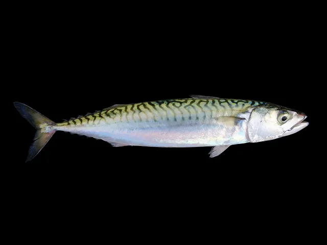 Atlantic mackerelRecorded here1 placeLoch Ryan and StranraerOver sea loch
Photo: Hans Hillewaert, via Wikimedia Commons, CC BY-SA 4.0; resized; shared under the same licence
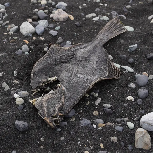 European flounderRecorded here1 placeLoch Ryan and StranraerOver sea loch
Photo: nbasargin, via iNaturalist, CC BY; resized and trimmed to fit
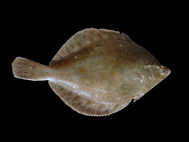 European plaiceRecorded here1 placeLoch Ryan and StranraerOver sea loch
Photo: Hans Hillewaert, via Wikimedia Commons, CC BY-SA 4.0; resized; shared under the same licence
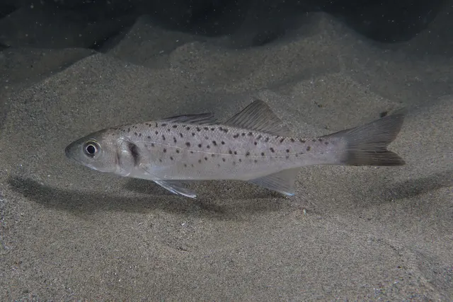 European sea bassRecorded here1 placeLoch Ryan and StranraerOver sea loch
Photo: Julien Renoult, via Wikimedia Commons, CC BY 4.0; resized and trimmed to fit
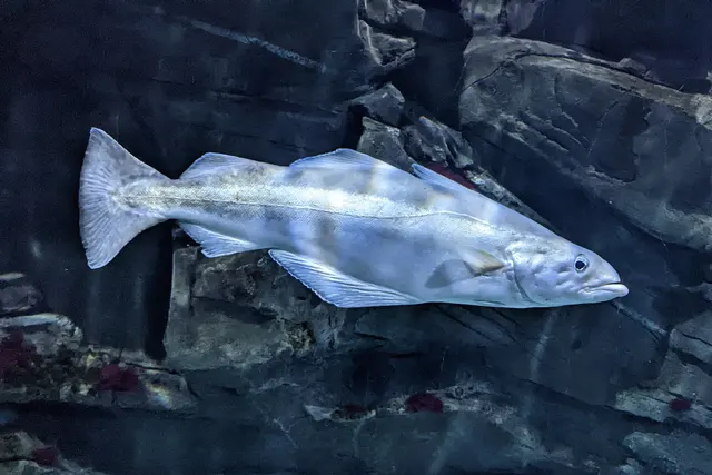 PollackRecorded here1 placeLoch Ryan and StranraerOver sea loch
Photo: Wilhelm Thomas Fiege, via Wikimedia Commons, CC BY-SA 4.0; resized and trimmed to fit; shared under the same licence
- Small-spotted catsharkRecorded here1 placeLoch Ryan and StranraerOver sea loch


What these strengths mean
- Recorded here
- At least one credible public account of this species being caught here. That is all it means.
- How breadth is counted
- A fish documented at six marks is shown as six marks: breadth never raises the strength on its own. A fishery account describes the fishing; a recorded catch reports one specific catch. How evidence is weighed.
Also associated with this ground
Recorded as present here without a documented method or strength behind them.
Recorded here, but not a species to target
These are recorded here, but they are not fish to take. Each is either assessed as Critically Endangered or protected by statute in this jurisdiction, and taking one may be prohibited outright — elsewhere every rod-caught fish must be returned. Read the species page and check the current rules with the authority before fishing.
Fish documented nearby, not here
Nothing below has been documented at Loch Ryan and Stranraer itself. Each one has been documented at a named place on the same ground, and the places are listed with it. Treat this as what the water around here holds rather than as a catch list for this mark.
Also documented at neighbouring places
One or two accounts each, on the ground around here. Enough to know the fish is caught in these waters; not enough to say anything about this place.
From the shore
- Conger eel — documented at Burrow Head; The Mull of Galloway
- Starry smooth-hound — documented at Wigtown Bay
- Ballan wrasse — documented at The Mull of Galloway
- Bull huss — documented at Burrow Head
- Turbot — documented at Fleet Bay
How people fish it
Practised here: Sea fishing.
Methods the sources name for this ground. Each one is explained in full on its own page.
Kayak fishing is the exception: it is listed for this ground and no kayak source has been read for it. Take it as somewhere a kayak might be used, not as something a source reports.
- Ledgering
Fishing a bait on the bottom held by a weight, with no float — the simplest way to fish at distance, in depth, or in wind.
- Kayak fishing
A platform rather than a technique: quiet, shallow-draught access to water no other craft reaches, bought at the price of exposure, and a discipline where the decision not to launch is part of the skill.
Baits and lures for these fish
The baits and lures each of the fish above is commonly taken on, from that fish’s own page. This is what works for the fish, not a report of what people use on this particular water — local knowledge and the conditions on the day still decide.
Baits
- Ragworm — for European flounder, European plaice, European sea bass, Pollack and 1 more
- Lugworm — for European flounder, European plaice
- Peeler crab — for European flounder, European sea bass
- Sand eel — for European sea bass, Pollack
- Crab and shellfish — for European sea bass
- Fish strip and cut bait — for Small-spotted catshark
- Sea deadbaits — for Small-spotted catshark
- Squid and cuttlefish — for Small-spotted catshark
Lures
- Metal jigs — for Atlantic mackerel, European sea bass, Pollack
- Soft plastics — for European sea bass, Pollack
- Jerkbaits — for European sea bass
- Jigs and jig heads — for Pollack
- Spinners — for Atlantic mackerel
- Streamers — for European sea bass
- Surface lures — for European sea bass
How to catch them: Mackerel fishing · Flounder fishing · Plaice fishing · Bass fishing · Pollack fishing · Dogfish (small-spotted catshark) fishing
Rods, reels and rigs for them: Atlantic mackerel · European flounder · European plaice · European sea bass · Pollack
The ground and the water
- The ground
- A large sheltered sea loch on the north of the Rhins, with a shingle spit narrowing its entrance, soft mud and sand inside and a historic native oyster bed still present.
Safety
Tides and being cut off — Can cause serious injury or death
General safety for this kind of ground, not a finding about this place.
On flat sand with one of the largest tidal ranges in Britain, the flooding tide advances horizontally faster than a person can comfortably walk. It fills the drainage channels first and spreads sideways, so ground is cut off from behind while the view seawards still looks open. People are cut off and drowned on this coast, and most of them were bait digging or walking rather than fishing.
What reduces it: Decide the time you will leave before you go out and set an alarm for it; never go onto the flats alone; carry a means of calling for help that works when wet; treat local knowledge of channel positions as safety information; and abandon the ground early rather than at the last moment.
Worse when:
- Spring tides, when the range and the speed of advance are greatest
- Fog, which removes every reference on ground with no landmarks
- Onshore wind and low pressure, which raise the actual water level above the predicted one
- Channels that have shifted since the information you are relying on was accurate
Rules and access
FishingHQ does not know the current access position here. Sea angling in Scotland is not rod-licensed, but access rights under the Scottish Outdoor Access Code carry responsibilities, and harbour, local authority, marine conservation and fisheries measures all apply and all change. Check the current position with the Marine Directorate, the harbour or local authority and the land manager before going.
Who holds the answer:
- The Scottish Government Marine Directorate, for sea fisheries measures in Scottish waters.
- The harbour authority or land manager, for access to the structure or the ground.
- The local authority, for shellfish harvesting classification.
- The relevant national fisheries administration for the shore concerned — different bodies apply on the English and Scottish sides of the same firth
- The relevant salmon fishery board or migratory fisheries authority, for anything concerning salmon and sea trout
- The local authority environmental health service, for shellfish harvesting classification and public health closures
- The coastguard, for tidal and safety information, and as the service that will be called if somebody is cut off
- Local clubs and long-established practitioners, whose knowledge of channel positions is operative safety information rather than a courtesy
Nearby fishing
Other publicly documented places within about 40 km, by distance. Positions are approximate public geography and are never exact marks.
- Portpatrick — 10–25 km · Harbour wall
- Luce Bay and Sandhead — 10–25 km · Bay
- Port Logan — 25–40 km · Harbour wall
- Girvan — 25–40 km · Harbour wall
- The Mull of Galloway — 25–40 km · Headland
Sources for this place
- JNCC species and habitat conservation advice — Joint Nature Conservation Committee (Conservation authority)Relied on for: Description, designation and habitat characterisation of the named coastal and marine features of the United Kingdom, and the species characteristically associated with them.States this directlyCitation checked — the work exists and is described correctly
- Cefas science, advice and data on marine and freshwater environments — Centre for Environment, Fisheries and Aquaculture Science (Government fisheries body)Relied on for: Marine environmental science for UK shelf seas: sediment characterisation, estuarine process, shellfish bed distribution, tidal range and the monitoring that describes them.States this directlyCitation checked — the work exists and is described correctly
- British Sea Fishing: Scottish shore marks — British Sea Fishing (Credible secondary source)Relied on for: The shore species the guide's own entry for this mark names, with the seasons, baits and methods it gives for them.States this directlyPassage read and verified
How FishingHQ labels evidence is explained in the evidence policy. Last reviewed 2026-08-16.
Something wrong or out of date?
If something on this page has changed, email us from your own account using the link that fits, with a link to where you saw the change if you can. Every report is checked by a person before anything is changed, and a report never appears on the site by itself. Please don’t send exact private marks.
Before you go
- Fish documented here
- 6 at this place itself. See them.
- Getting there
- Not recorded. FishingHQ holds no sourced description of the way in.
- Rules particular to this water
- None recorded, which is not the same as none existing.
- Hazards particular to this place
- None recorded for this place; the hazards of the wider coast or water still apply.
Check before you travel
- Whether you may fish here, and whether a licence or permit is needed — start with the Scottish Government Marine Directorate.
- The tide times and the forecast for the day you go.
- Anything recorded here was true when it was read; it is not watched for change.