Loch Tay
Loch · Fresh water · in The River Tay
A deep glacial ribbon loch in a steep Perthshire valley, feeding the largest river discharge in Britain, with a substantial salmon run entering through it.
Safety: moving water and currents — can cause serious injury or death. One more point applies here.
FishingHQ describes what this place is, not whether you may fish it. Access, permits and who to ask.
What you can catch here
Documented at this place, grouped by how you would be fishing, with how strongly the sources support each one. This is what has been written down, not a forecast, and being listed is never permission to fish.
From the shore · 3
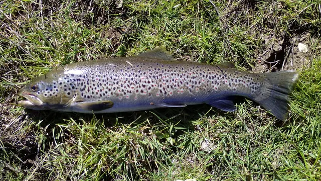
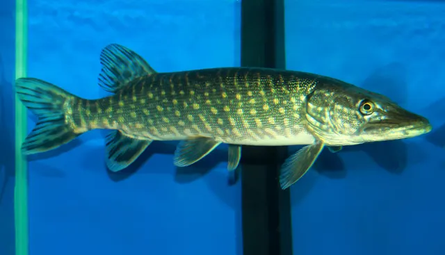
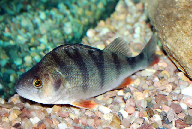
From a boat · 4
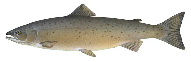
What these strengths mean
- Regular local target
- Fishing sources describe this as a normal local target here, not merely as caught.
- Seasonal
- Well supported, and concentrated in part of the year rather than spread through it.
- Repeatedly reported
- Several independent public accounts. Enough to say it happens more than once; not enough to call it a fishery.
- Recorded here
- At least one credible public account of this species being caught here. That is all it means.
- How breadth is counted
- A fish documented at six marks is shown as six marks: breadth never raises the strength on its own. A fishery account describes the fishing; a recorded catch reports one specific catch. How evidence is weighed.
Fish documented nearby, not here
Nothing below has been documented at Loch Tay itself. Each one has been documented at a named place on the same ground, and the places are listed with it. Treat this as what the water around here holds rather than as a catch list for this mark.
Also documented at neighbouring places
One or two accounts each, on the ground around here. Enough to know the fish is caught in these waters; not enough to say anything about this place.
Fly fishing
- Grayling — documented at The Tay at Stanley
How people fish it
Practised here: Coarse fishing, Fly fishing.
Methods the sources name for this ground. Each one is explained in full on its own page.
- Trolling
Towing lures or baits behind a moving boat to cover large volumes of water and locate scattered fish.
- Deadbaiting
Presenting a dead fish as bait for predators — a method that works because scavenging is normal predator behaviour, not an exception.
- Stillwater fly fishing
Fly fishing without current, where the angler supplies every movement and the problem becomes finding fish rather than presenting to them.
The ground and the water
- The ground
- A deep glacial ribbon loch in a steep Perthshire valley, feeding the largest river discharge in Britain, with a substantial salmon run entering through it.
Through the year
The months the sources attach to each species here. Where a species carries no season it is listed underneath rather than assumed to run through the year.
| Species | J | F | M | A | M | J | J | A | S | O | N | D |
|---|---|---|---|---|---|---|---|---|---|---|---|---|
| Brown trout — regular local target, recorded in March, April, May, June, July, August, September, October. | ||||||||||||
| Atlantic salmon — seasonal, recorded in January, February, March, April, May. |
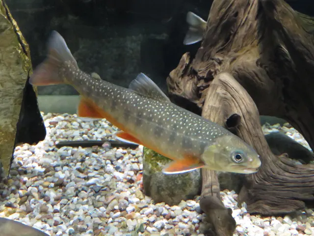
Recorded here with no season stated: Northern pike, European perch, Arctic char.
Safety
Moving water and currents — Can cause serious injury or death
The largest river in Britain by volume exerts force that rises sharply with current speed, so a wader loses their footing at less depth than expected over gravel and cobble that shifts. Levels rise from rain hours away under a clear sky, and on regulated tributaries from a hydro release with no natural warning at all.
What reduces it: Wear a fastened wading belt and use a staff, wade with the current rather than against it, do not wade above heavy water, and get out at the first sign of colouring or rising level rather than the second.
Worse when:
- After rain in the upper catchment, which arrives hours later with no local weather.
- Below or within a hydro-regulated reach, where a release raises the river without any natural signal.
Cold water shock — Can cause serious injury or death
The spring salmon fishing the river is known for happens in the coldest water of the year, and the summer sea trout fishing happens at night. Immersion takes breathing control within the first minute, which in waders in current is the minute that decides it.
What reduces it: Consider an inflatable buoyancy aid on water this size, do not wade heavy water alone, and if immersed get feet downstream and float and control the breathing before attempting to reach the bank.
Rules and access
Licence
Scotland has no general rod licence for freshwater fishing. That is the opposite of the position in England and Wales, and it is not a relaxation.
Permission to fish
The whole question. Fishing rights on almost every river and loch belong to a proprietor, estate, angling association or district salmon fishery board, and permission must come from them.
FishingHQ does not know the current access position here. Scotland has no general rod licence, and the fishing rights on almost every river and loch belong to somebody: a proprietor, an estate, an angling association or a district salmon fishery board. Permission is a separate question from access, and both change. Check with the relevant fishery board or association before going.
Who holds the answer:
- The district salmon fishery board for the catchment, where the water holds migratory fish.
- The proprietor, estate or angling association that holds the fishing rights.
- The Scottish Government, for freshwater fisheries policy and protection orders.
- The Tay District Salmon Fishery Board, which administers salmon and sea trout fishing across this river system.
- Marine Directorate of the Scottish Government, for national salmon conservation measures including the river grading system.
- The proprietor, estate, hotel or angling association that holds the fishing rights, since freshwater fishing rights in Scotland are private property and permission is required.
- NatureScot, where a conservation designation affects the river, its habitats or its protected species.
- The Scottish Environment Protection Agency, for water quality, abstraction and the regulation of impoundments.
Nearby fishing
Other publicly documented places within about 40 km, by distance. Positions are approximate public geography and are never exact marks.
- Loch Earn — 10–25 km · Loch
- Loch Rannoch — 10–25 km · Loch
- The Teith at Callander — 25–40 km · River reach
- The Tummel and Loch Faskally — 25–40 km · River reach
- The Tay at Dunkeld — 25–40 km · River reach
- The Lake of Menteith — 25–40 km · Loch
Sources for this place
- Freshwater Fishes of the British Isles — HarperCollins (New Naturalist 75), 1992 (Reference work)Relied on for: Distribution, habitat requirements and biology of the freshwater fishes of Britain and Ireland named here.States this directlyCitation checked — the work exists and is described correctly
- Trout & Salmon — Bauer Media (Specialist angling publication)Relied on for: Long-running published description of British and Irish game angling practice by river, beat and season.FishingHQ's interpretation of what it saysCitation checked — the work exists and is described correctly
- General angling website restatements of established technique — Various (Credible secondary source)Relied on for: Widely restated public descriptions of which waters are conventionally fished and how, recorded as practitioner consensus rather than as scholarship, and not relied on for access, permission or any current rule.Background and mechanism onlyCitation checked — the work exists and is described correctly
How FishingHQ labels evidence is explained in the evidence policy. Last reviewed 2026-08-16.